- Scan date: 30/07/2026
- Equipment: Xgrids Lixel K2 handheld SLAM scanner
- Capture: Single continuous walkthrough scan / approx. 20 minutes
- Conditions: Underground — cool, damp, low ambient light
- Rendering: Lixelstudio / 3D Studio / V-Ray
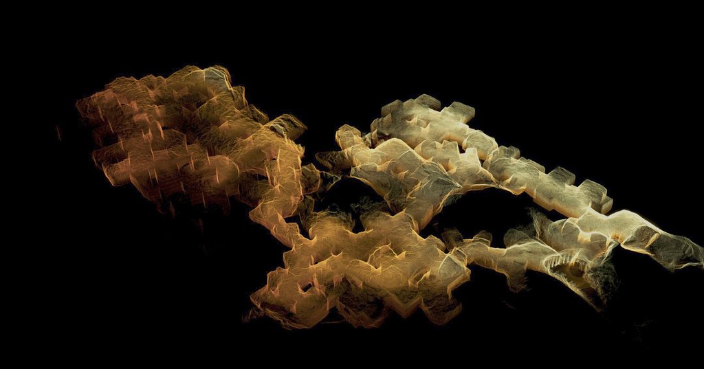
Beer Quarry Caves sit about a mile inland from the village of Beer, on the Jurassic Coast in East Devon. They are not natural caves but the remains of a stone quarry worked underground for close to 2,000 years, from the Romans through to the 1920s. The stone itself, Beer stone, is a creamy-grey limestone that’s soft and easy to cut when first extracted but hardens with exposure to air, which made it a favourite for detailed church and cathedral work; it’s been used in Exeter Cathedral, Westminster Abbey, the Tower of London and Windsor Castle.
The Lixel K2 produces both a more conventional LiDAR point cloud and a Gaussian Splat representation of the environment.
The LiDAR scan
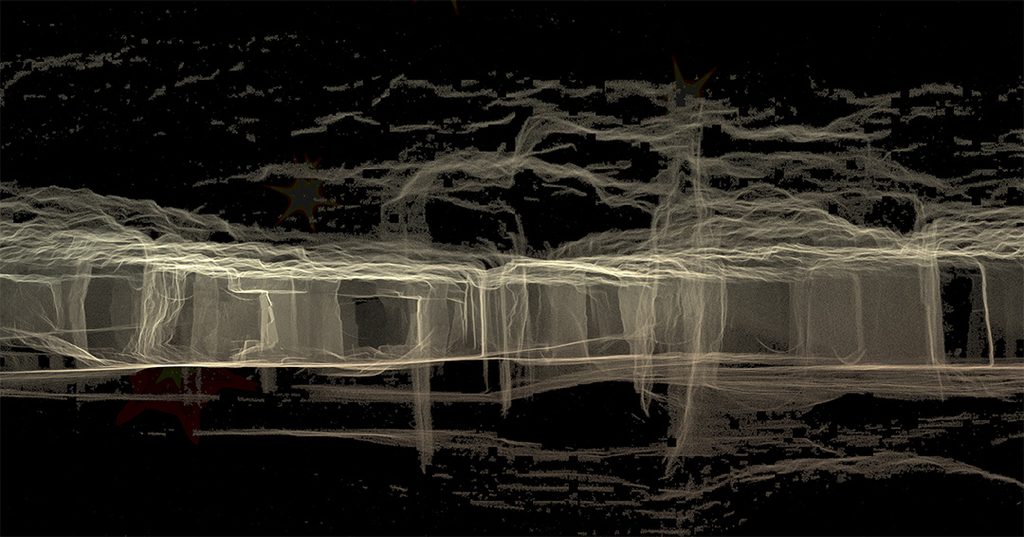
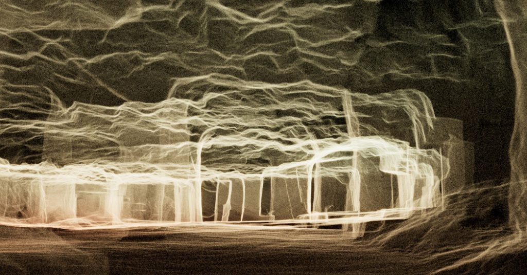
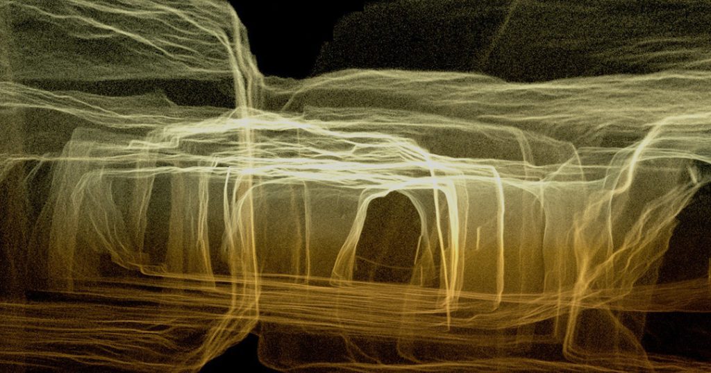
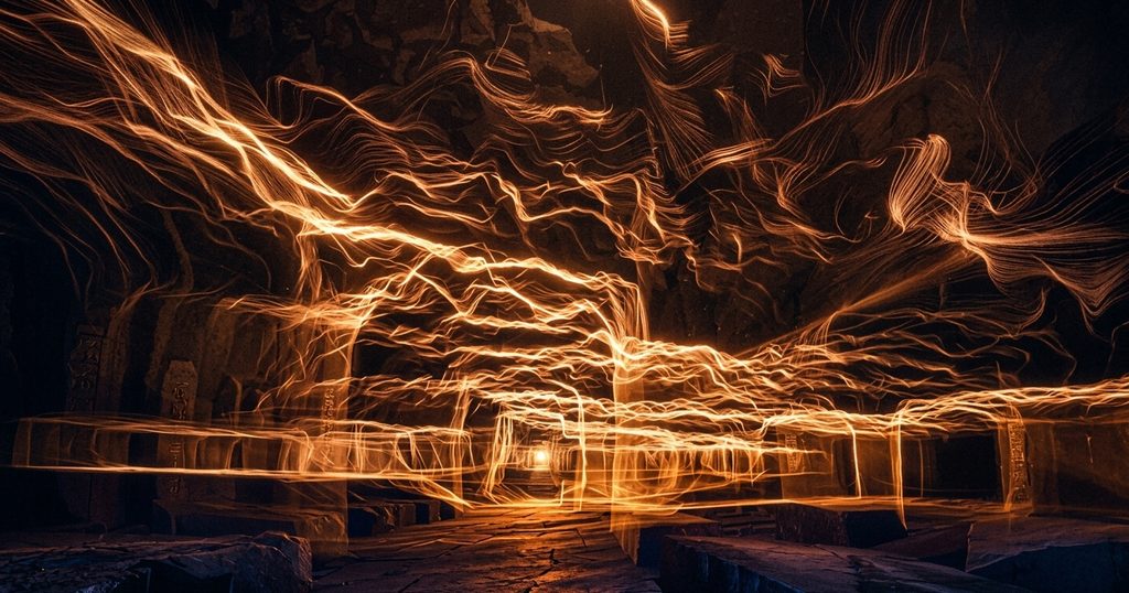
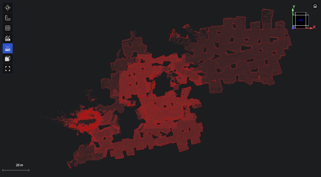
With no natural light – just low-level lighting strung through the cave network and a torch – the colour-capture element of the scan was significantly constrained. LiDAR, however, functions well in these conditions, accurately recording the location and position of elements, just without reliable true-colour information.
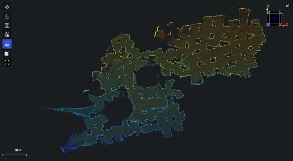
Substituting the actual, dark and muted colours with an elevation ramp – graduating from one colour to another according to elevation – brings the cave forms into clearer view and highlights changes in height throughout the cave network.
A custom OSL (Open Shading Language) file is used to define the elevation gradient, allowing more precise control over how colours are mapped across the vertical range of the cave. Applied through a V-Ray map in 3ds Max, this provides a consistent and easily adjustable elevation ramp across the entire point-cloud.
Since renders from angles viewing through the entire model can result in areas of overlaid and densely packed points, the view can look visually ‘blown out’, obscuring detail as the points compound and merge with depth. Several methods to remedy this:
- VraySphereFade: to limit the render to just a sphere area – with a very soft (fade) cutoff edge
- Render using a non-uniform aspect ratio to increase the Y-axis of the render area, vertically spreading the point cloud, reducing the overlap between points.
- Set vray camera film gate very high – to dramatically increase the perspective and further separate the points

.
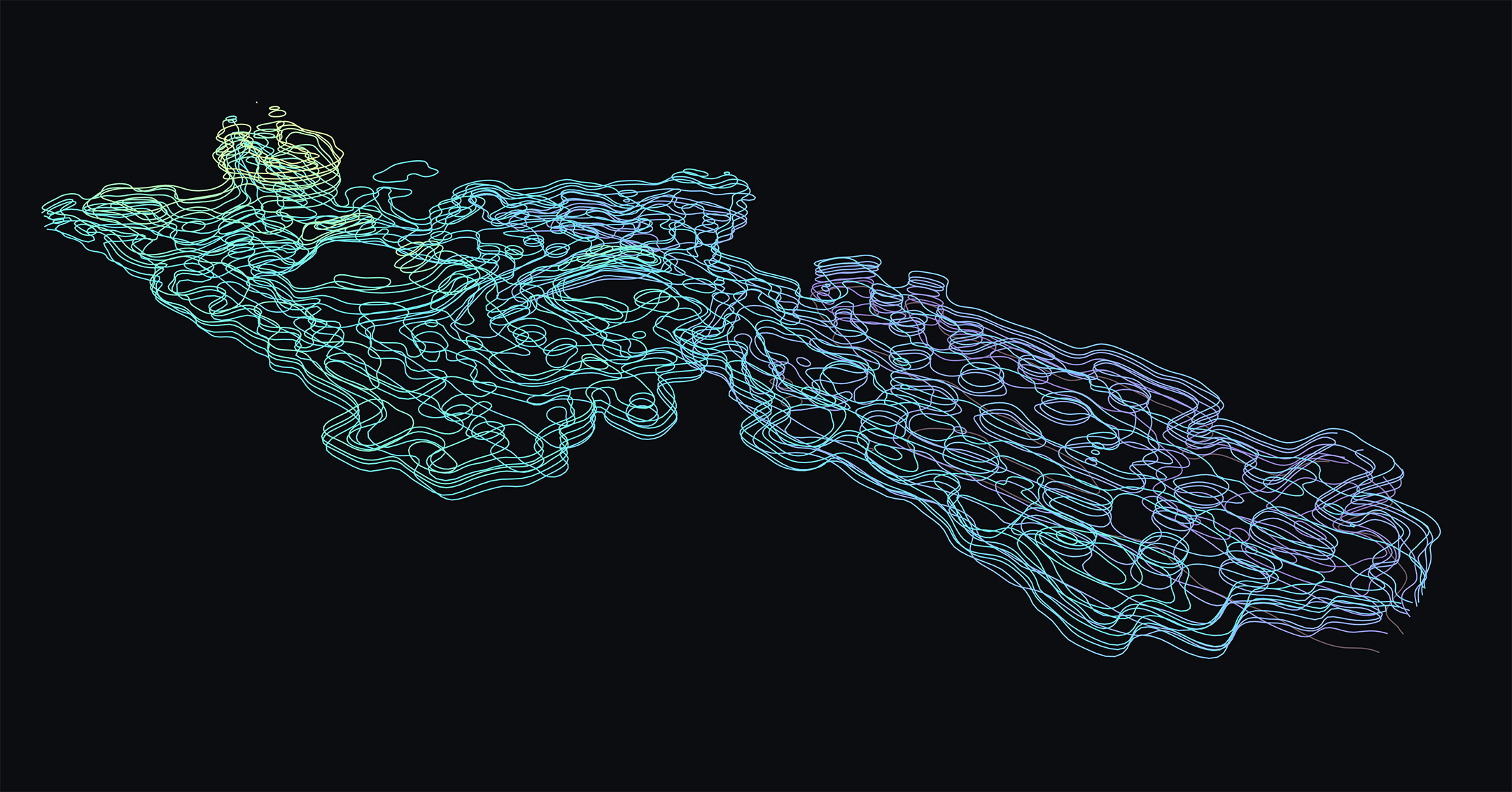
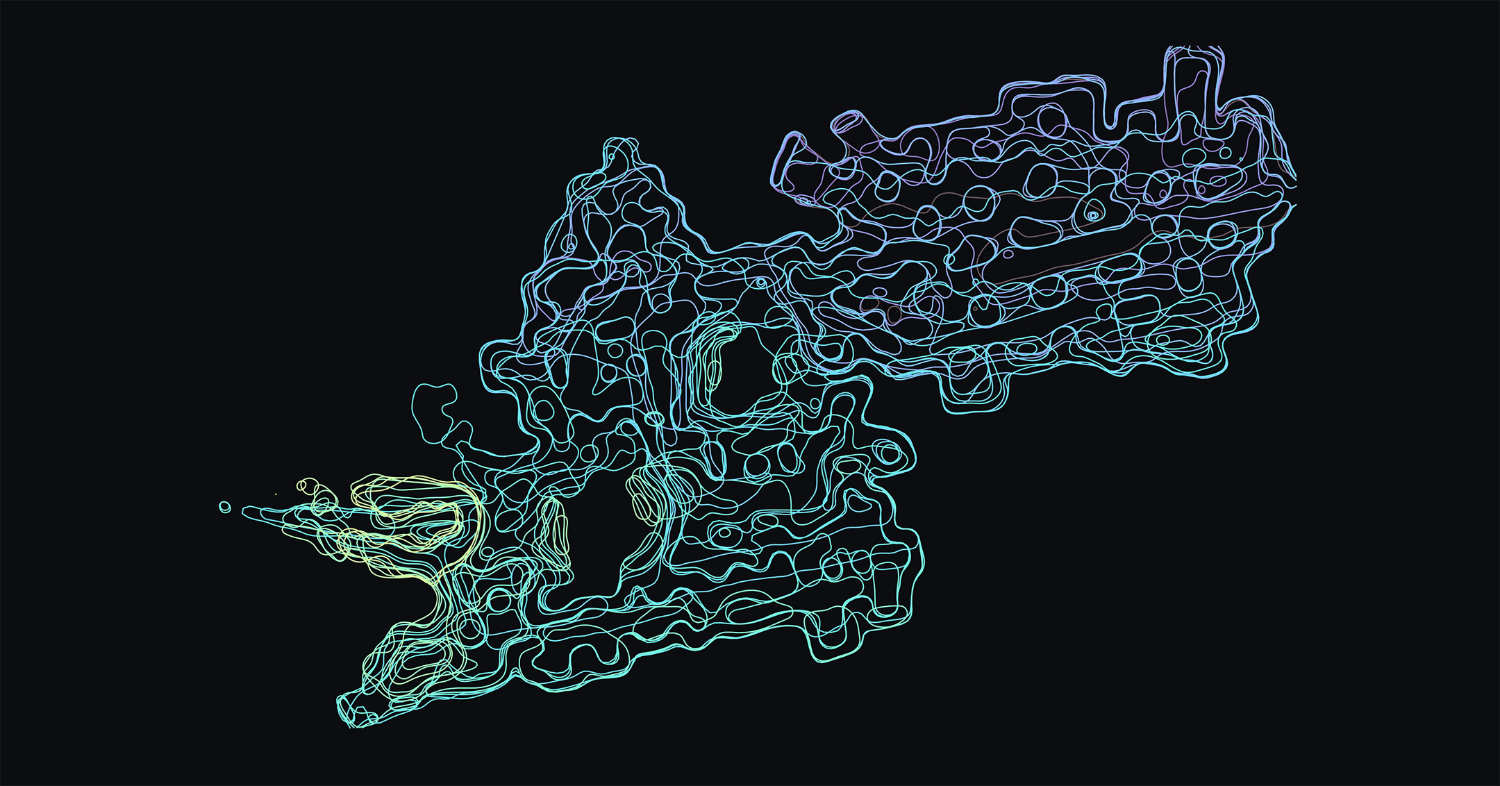
A contour calculation and visualisation tool, developed in-house, can provide an alternative, informative – and quick – method for illustrating the cave layout by slicing the point cloud and representing it as closed contour loops.

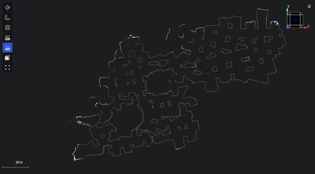
XGrids Lixel Studio enables interrogation of the point cloud through a sequence of 2D spatial profiles and the application of visual enhancements. It also provides volume calculations, including reference-plane volumes (the volume above or below a defined plane) as well as applications for earthworks and cut-and-fill analysis. These tools help present the cave as measurable data, rather than simply as a scan.
Gaussian Splat
The Lixel K2 also generates a Gaussian splat model of the scanned area – this is a representation of the scene as a collection of soft, volumetric elements, each with position, size, colour and opacity which produces a more continuous and visually realistic rendering.
Again, the limited lighting within the cave results in a relatively dark and visually subdued representation
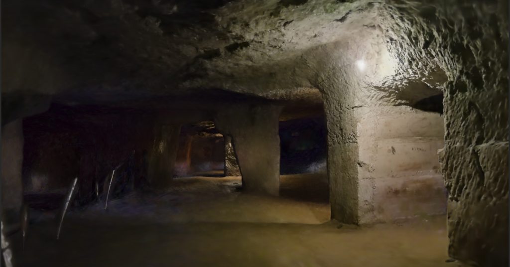
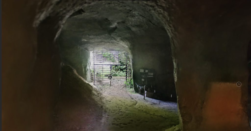
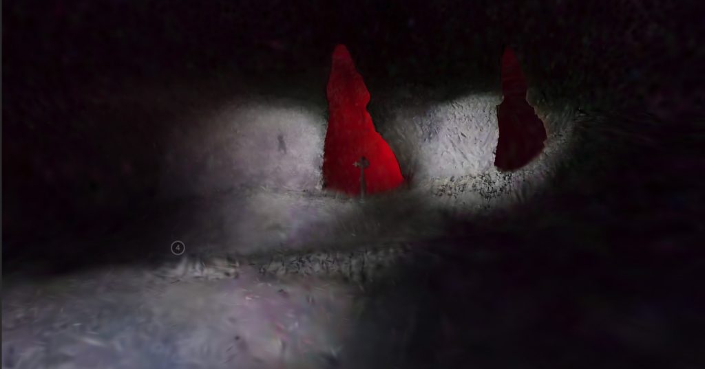
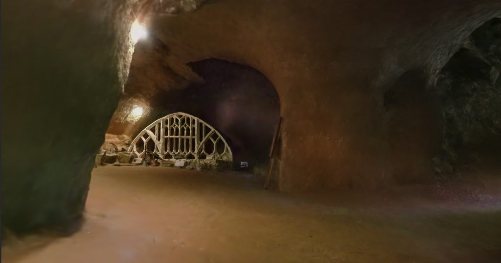
A game-like walkthrough version is generated – albeit quite dark too.